
Our Services
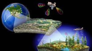
GIS and Remote Sensing
A Geospatial Information System (GIS) is an intelligent tool for decision-making. Remote Sensing provides data that we use a GIS to analyze. A GIS can analyze remotely sensed images, spreadsheet data, vector data, and many other types of data.
Some of our GIS and Remote Sensing services include:
- Procurement, Processing, and Analysis of Satellite imagery
- Data Conversion, GIS Data Analysis and Visualization
- GIS Database Development, Maintenance & Updating
- Forest, Agricultural, and Land Use/Land Cover Mapping and Analysis
- Spatial Modelling
- Cartographic Maps for Print and Digital Media
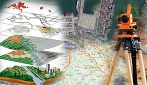
Surveying and Mapping
Surveying and mapping play an important role in collecting data from areas that don’t have updated maps. At Geometria, we utilize various techniques to provide the highest quality surveying and mapping data depending on each project’s requirements.
Some of our Surveying and Mapping services include:
- Boundary Surveys: To establish or re-establish property corners and boundary lines
- Topographic Surveys: To graphically represent land physical features (Natural and man-made)
- Control Surveys: To establish precise horizontal and vertical positions of reference points
- Subdivision Surveys: To subdivide tracts of land into smaller parcels
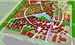
Land Use Planning
Land use planning is a vital part of the development process. It involves the assessment of the environmental effects of land use and its impact on the community. A key part of the land use planning process is to develop solutions to manage natural resources while executing successful projects.
Some of our Land Use Planning services include:
- Site planning
- Regional Planning
- Urban Planning
- Master Planning
- Environmental Planning
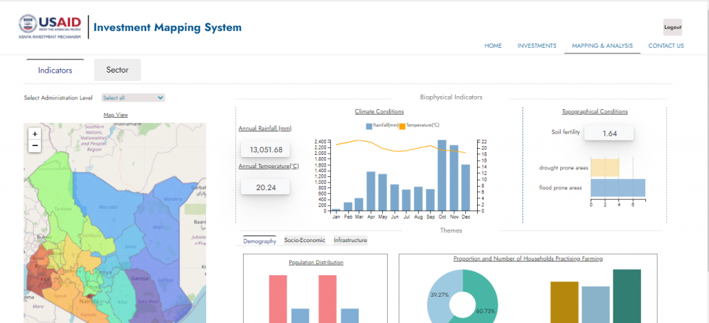
Geospatial Dashboards Development
Geospatial dashboards are the perfect solution for visualizing location-based information. to provide key insights for at-a-glance decision-making. Our dashboards are developed in-house based on open sources technologies and customized to fit your needs
Some of our Geospatial Dashboards include:
- Strategic Dashboards: Used by executives to track key metrics and make strategic decisions
- Analytical Dashboards: Used for data analysis and visualization
- Operational Dashboards: For monitoring and evaluation
- Informational Dashboards: USed to engage the community
GIS Mobile Applications Development
A mobile application, most commonly referred to as an app, is a type of application software designed to run on a mobile device, such as our Rugged Mobile Phablets and Tablets.

Some of our Mobile GIS Application services include:
- Apps for real-time data collection and editing services in the field
- Apps for location-based services such as real-time tracking, navigation, monitoring and location identification using Global Positioning System (GPS).
- Apps for Augmented Reality (AR) services using a camera, GPS, and GIS data.
GIS Training and Support
We provide GIS training and support to educate and empower our clients with the required skills for optimal utilization of their solutions both in the office and field. Our training and support services target both commercial and open-source solutions.
Some of our GIS Training and Support services include:
- Technical Support: We offer flexible technical support agreements to ensure that your solution continues to perform optimally.
- Data Maintenance to ensure that your applications have up-to-date maps and reference information.
- Tailored end-user GIS training on-site to small groups or one-to-one.
- Detailed technical training and documentation covering the various components of your GIS solution for system administrators.