
Our Portfolio
We provide extensive and accurate geospatial solutions for a wide range of industries and applications. Some of our projects include:
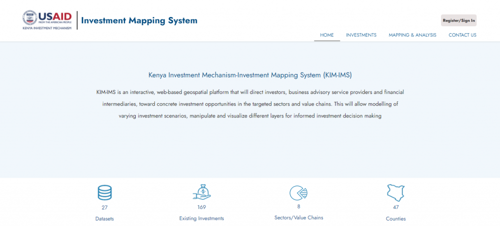
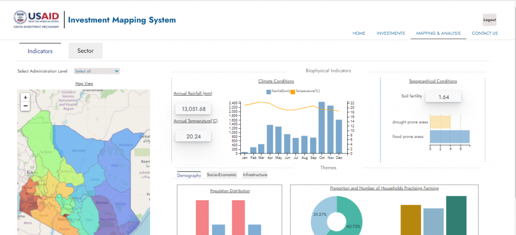
Investment Mapping System
KIM-IMS is an interactive, web-based geospatial platform that will direct investors, business advisory service providers, and financial intermediaries, toward concrete investment opportunities in the targeted sectors and value chains. This will allow modeling of varying investment scenarios, manipulate and visualize different layers for informed investment decision making
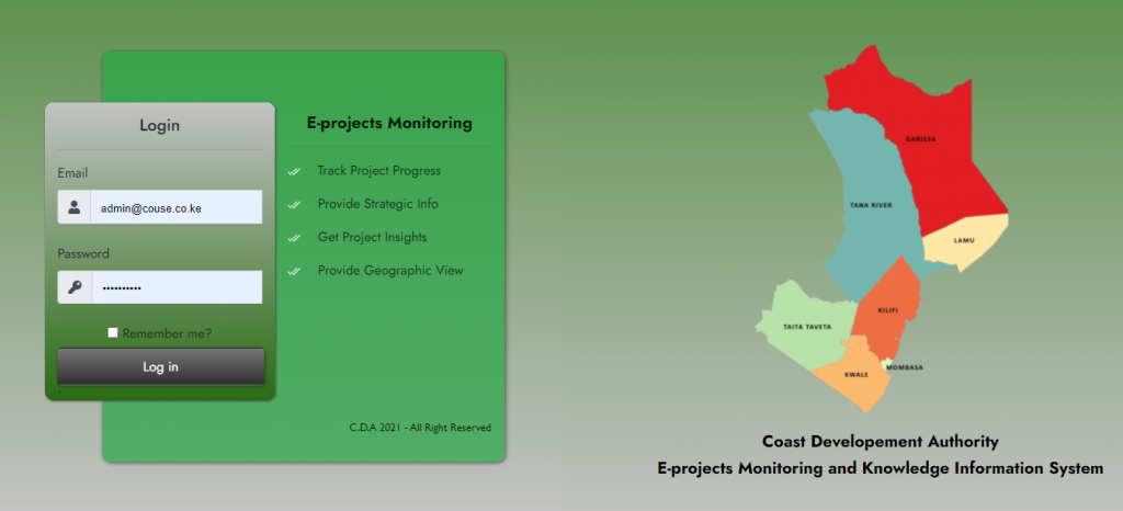
E-projects Monitoring and Knowledge Information System
(Coast Development Authority)

More Featured Work
Point Cloud API
Our point cloud API automatically transforms raw point cloud datasets into usable floor plans.

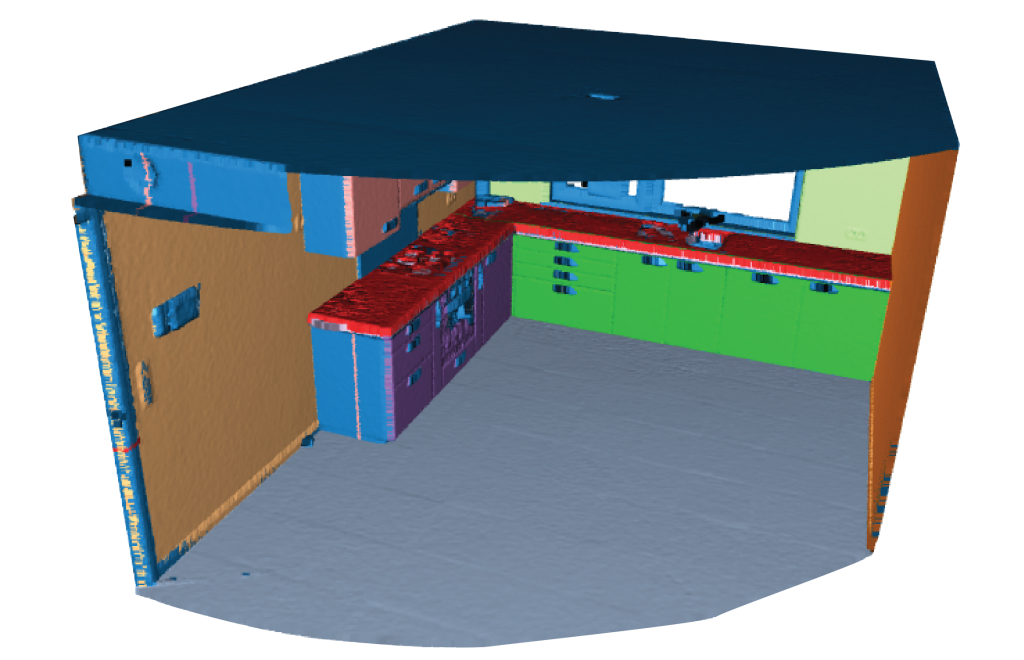
Our machine learning model is able to segment different planes on the point cloud data and generate floor plans
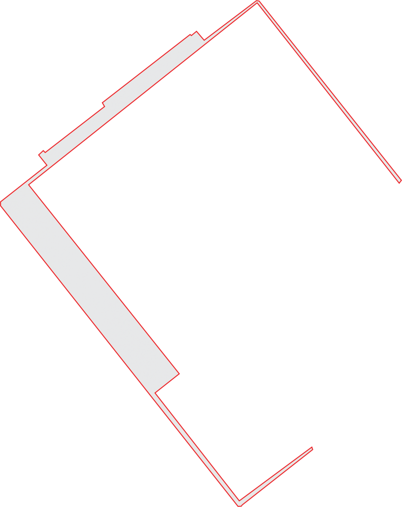
Generated Floor plan